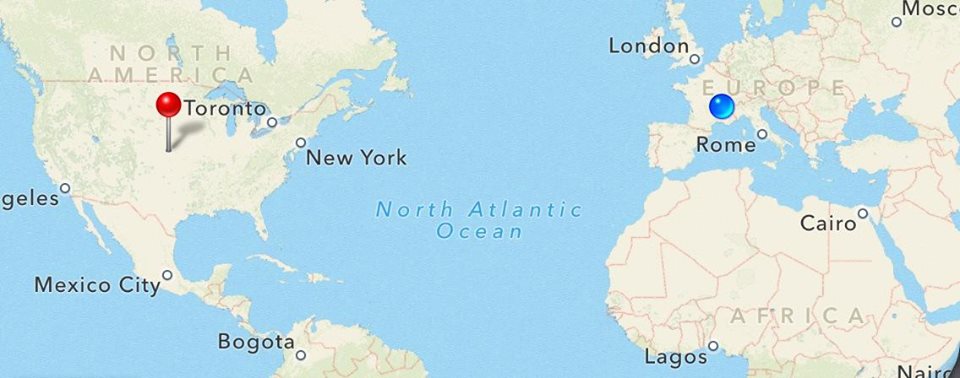
I may be miles away from home, but this summer has been one of the best.
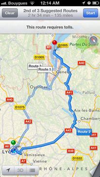
Yesterday my host family took me and a friend on a Road Trip to see some of the best of France. Here is a map of my travels:
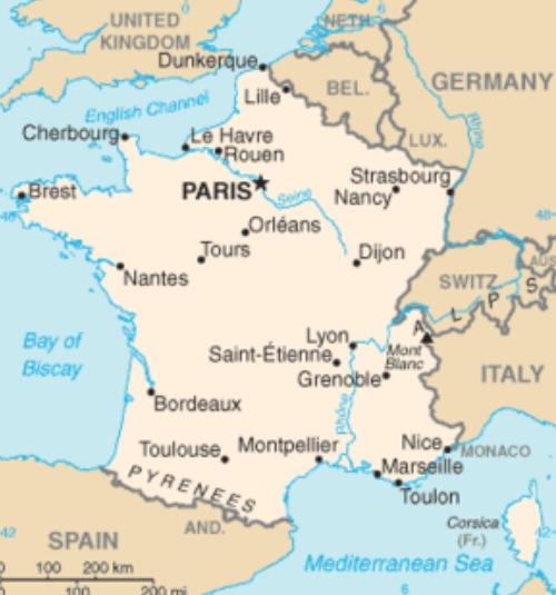
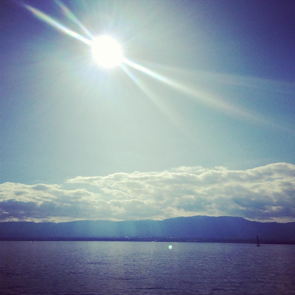
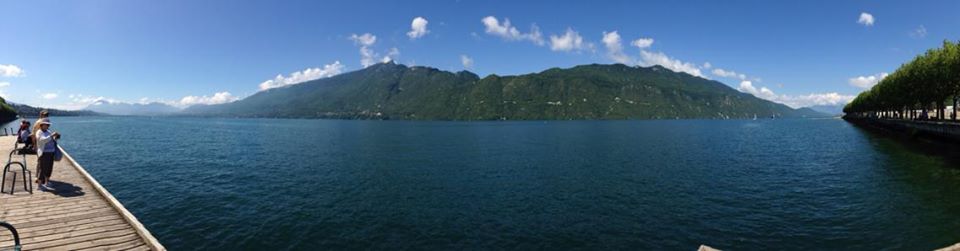
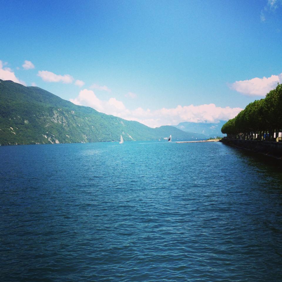
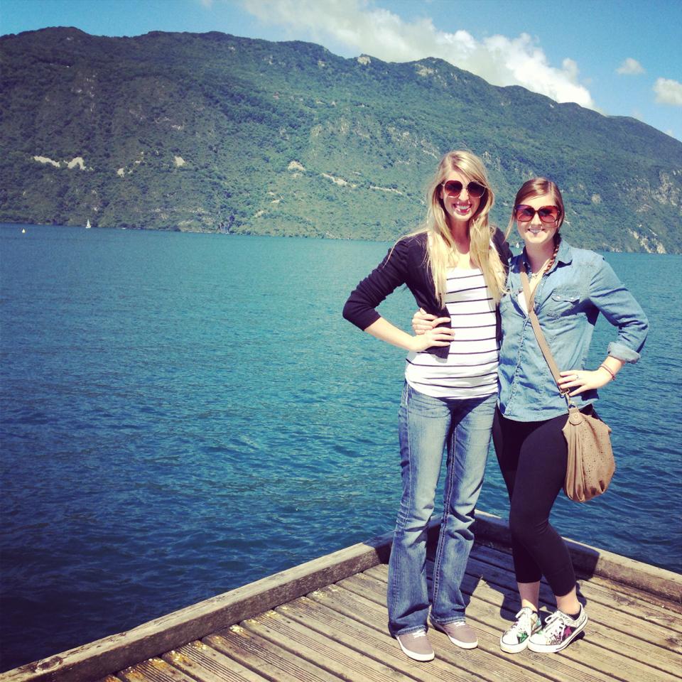
We started in Lyon and made our first stop in Aix les Bains where we saw the Lac de Bourget:
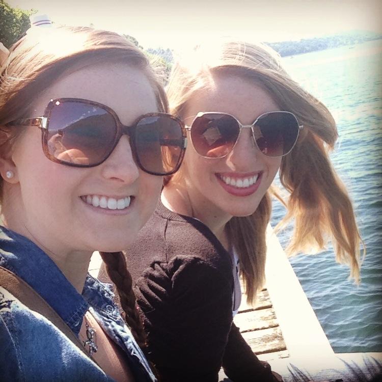
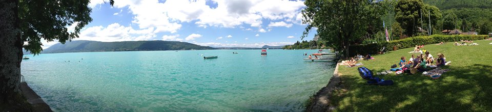
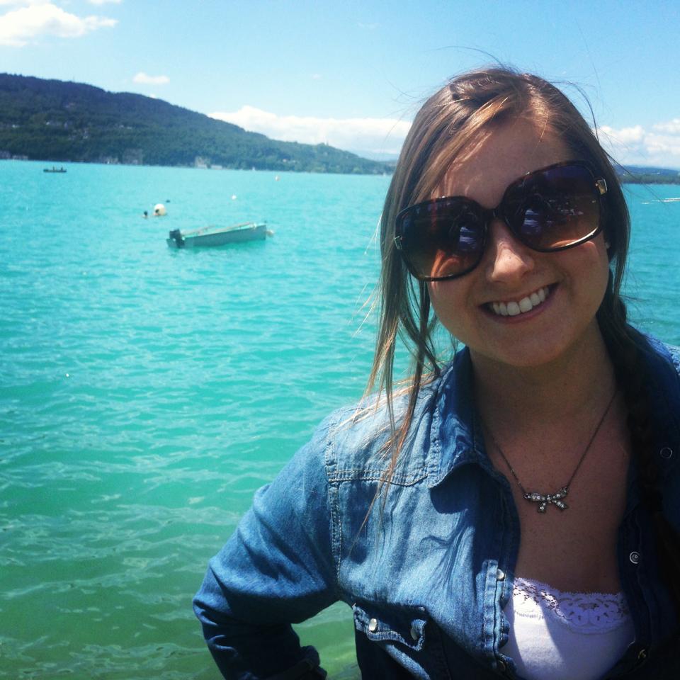
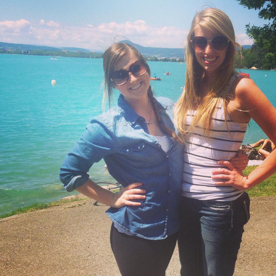
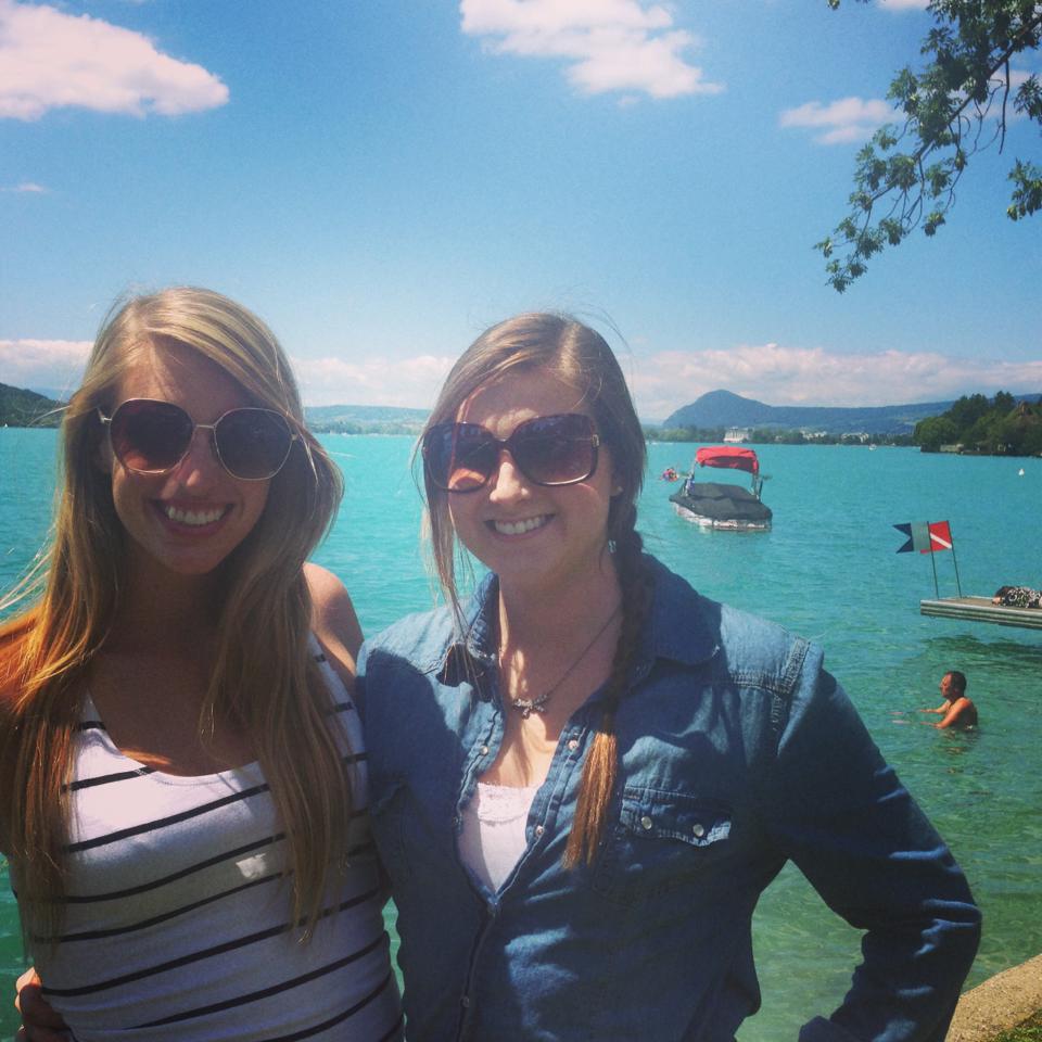
Next we stopped in Anncey and sat and had a nice picnic lunch near the beach.. and unfortunately saw a few in the nude …
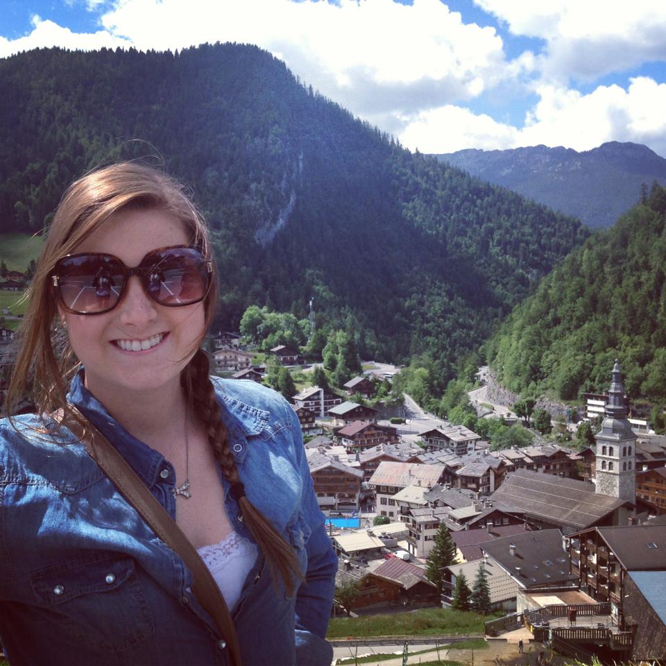
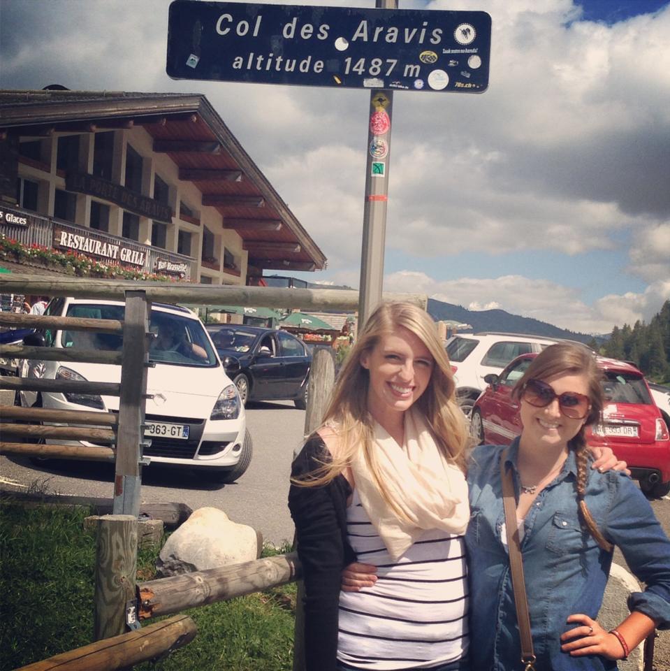
Next stop: La Clusaz
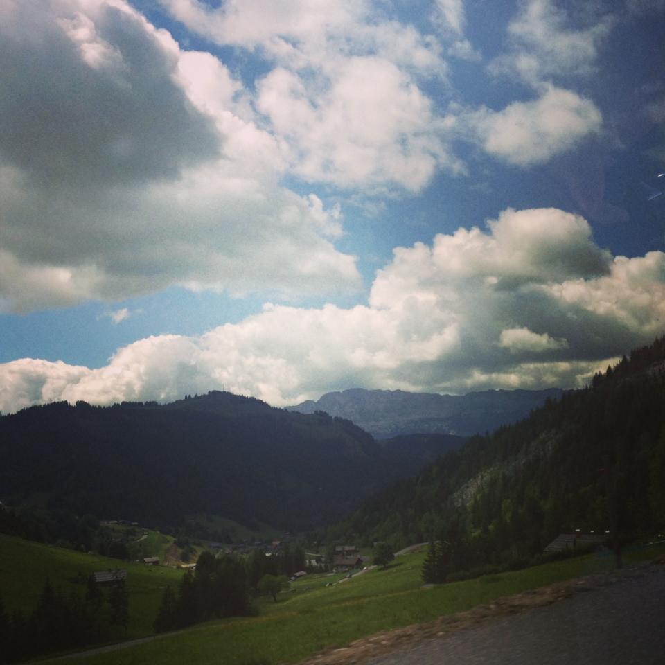
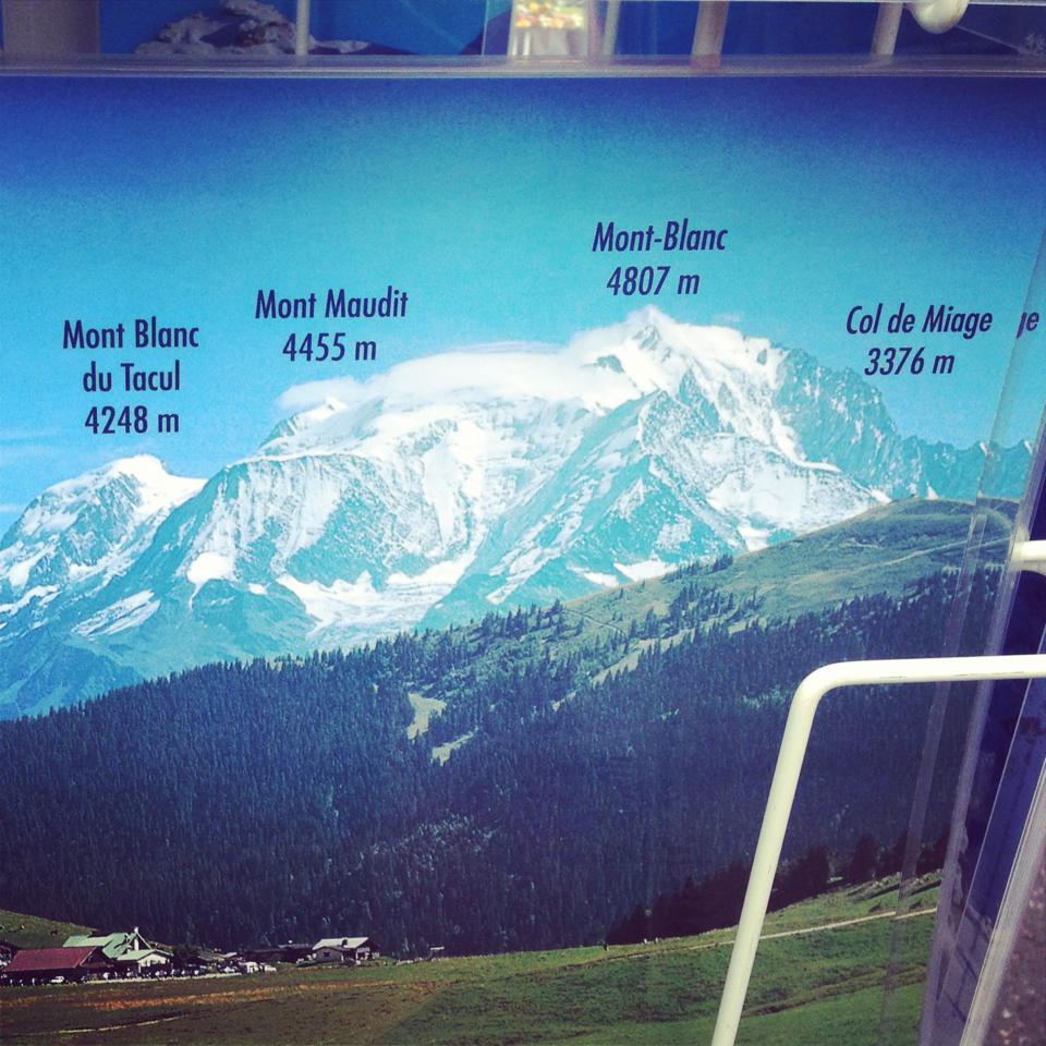
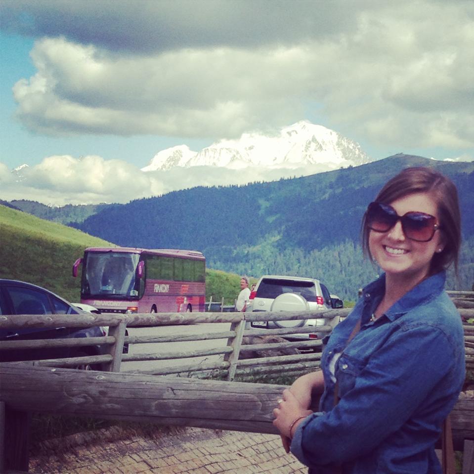
Not far past La Clusaz.. we could see the tallest mountain in all of Europe – Mont Blanc and just behind lies the country of Italy!
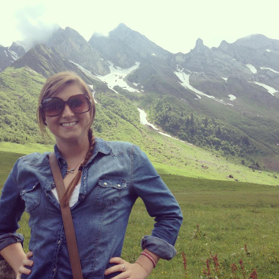
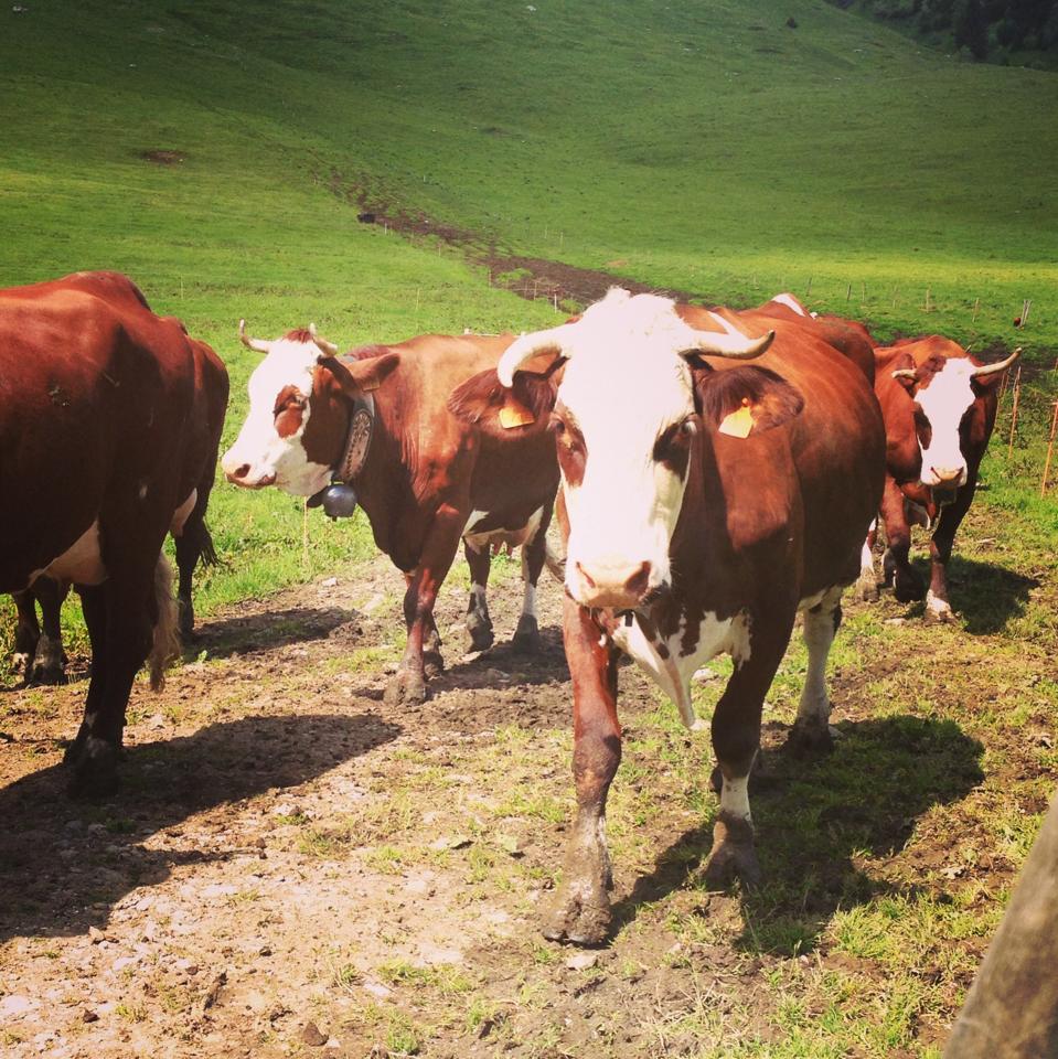
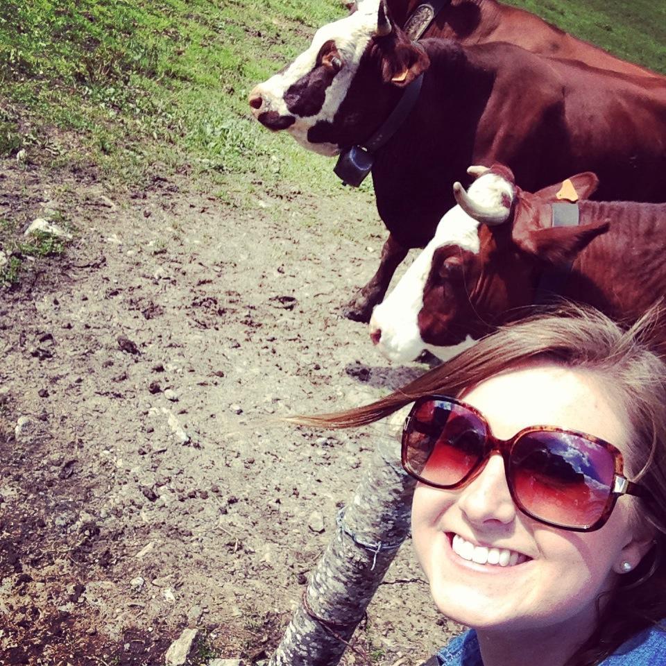
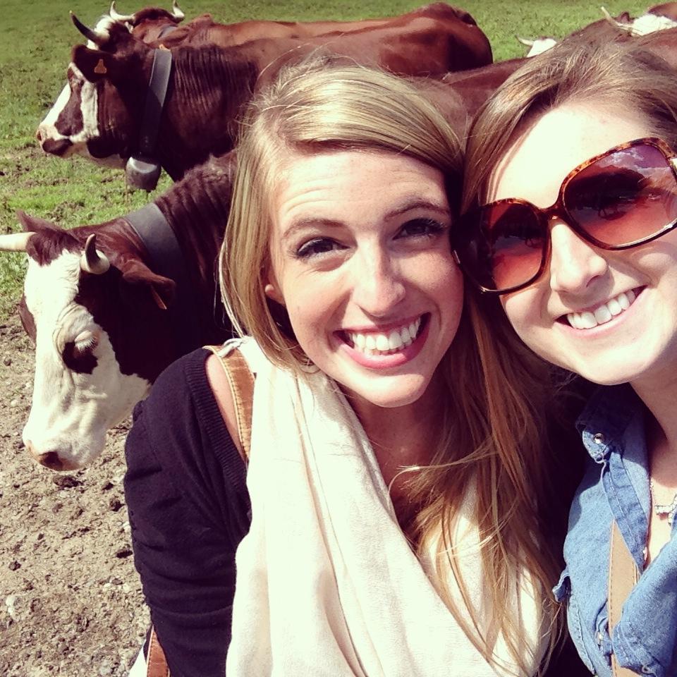
Here we also got to see a lot of cows and even more mountains … This would be the place France is known for its cheese!
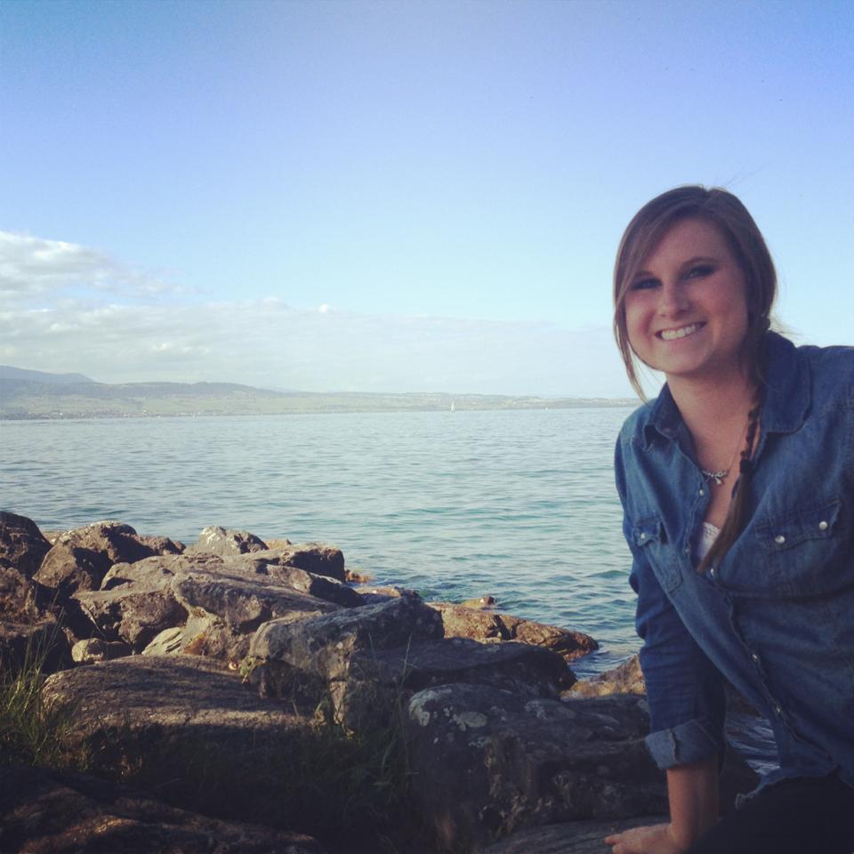
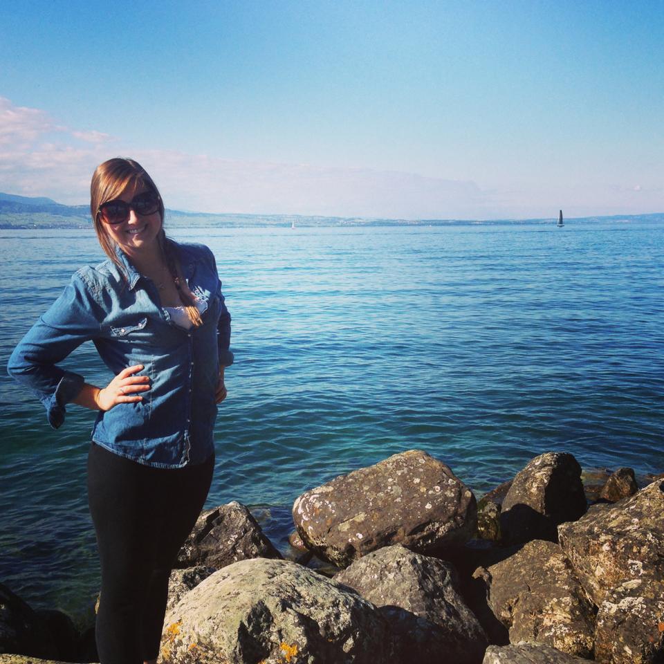
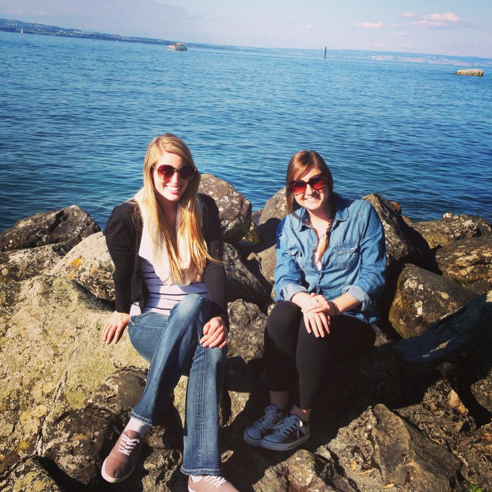
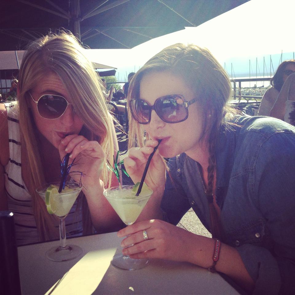
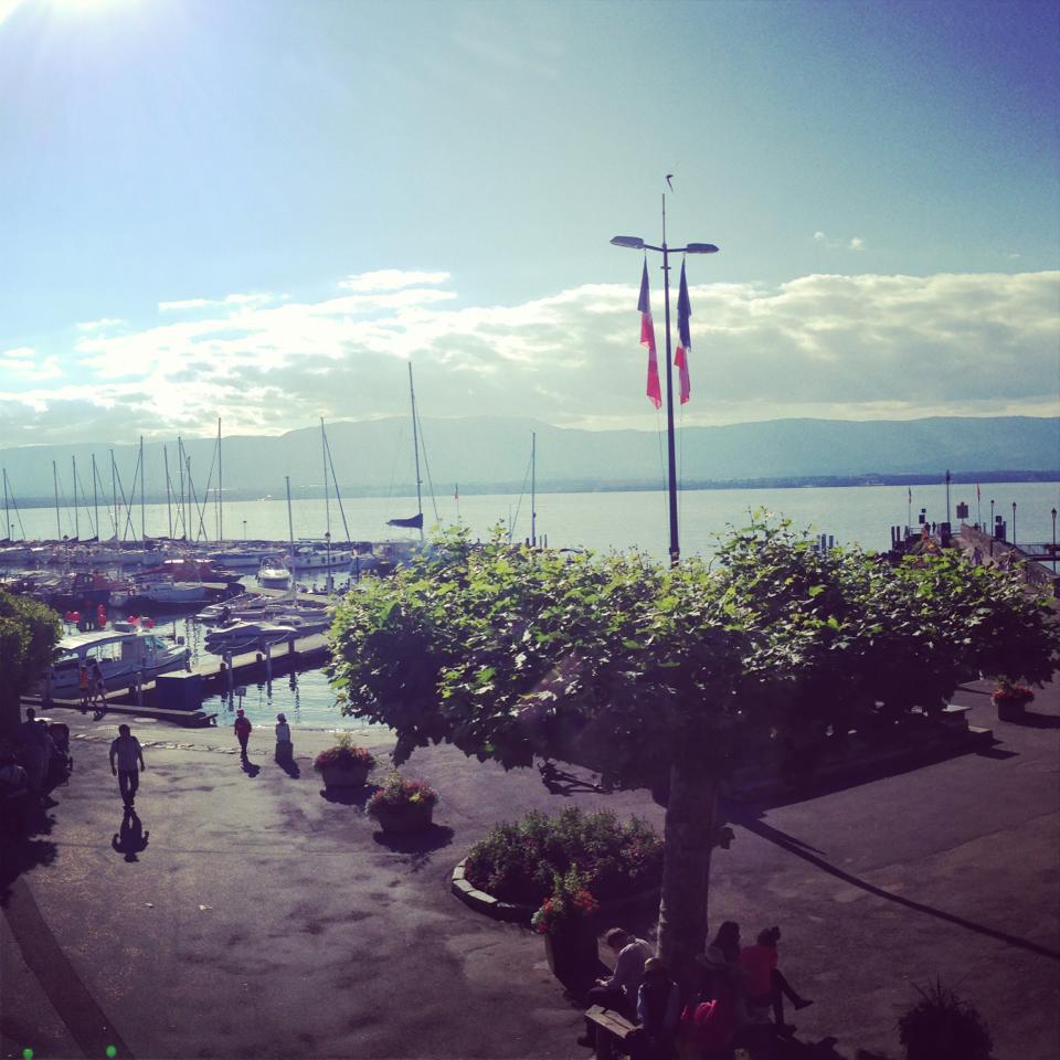
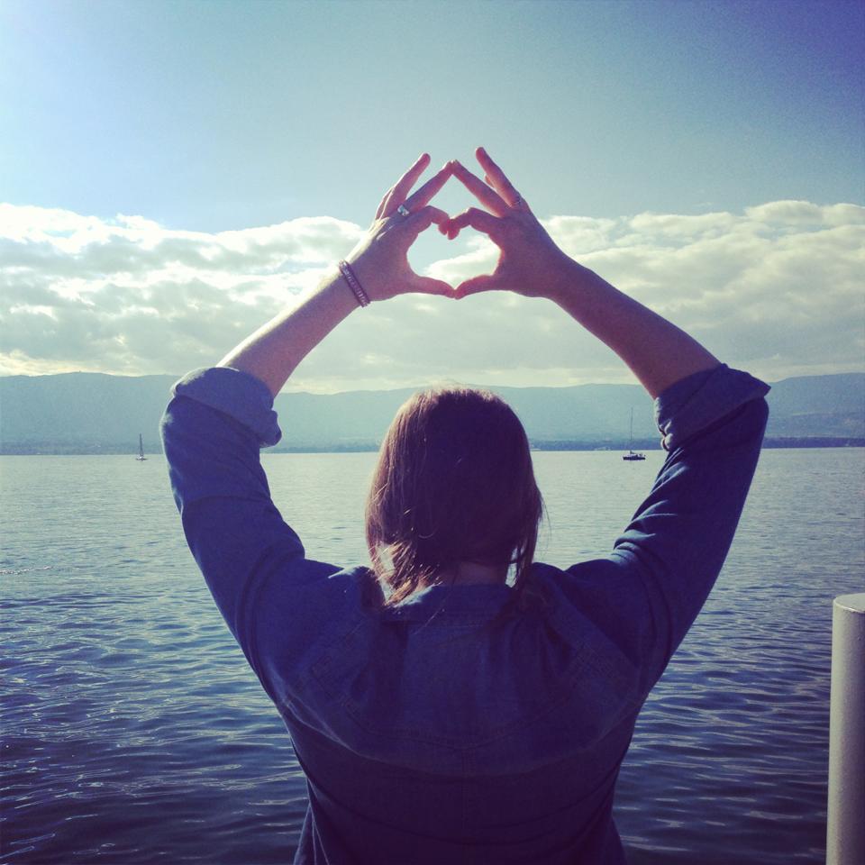
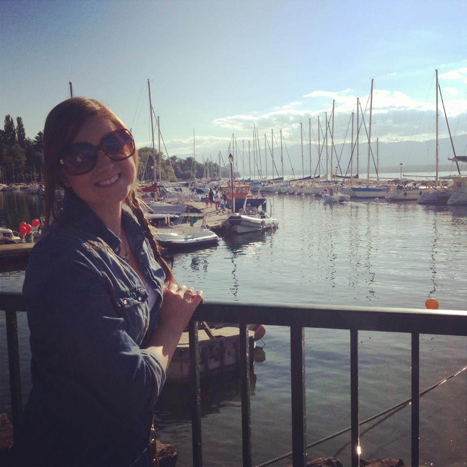
Finally we made our last stop in Yvoire – and the mountains in these picture are part of Switzerland!